PROJECT SUMMARY:
Verification of DWR LAM Data
Multiple Water Agencies
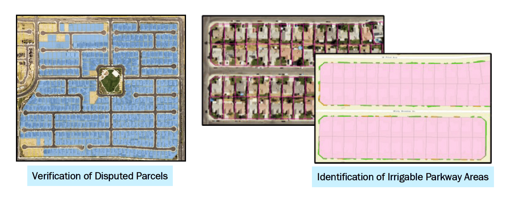
DCSE created a project plan and a corresponding approach to evaluate the consistency of the data between the Department of Water Resources (DWR) and respective water districts.

This consulting service was provided to address discrepancies and prepare adjustment and variance requests data and reports to assist water districts responses to the DWR’s LAM project. Adjustment requests evaluate items such as the area of interest (AOI) boundary, disputed parcels, vacant parcels, new developments, MISC land use codes and other mis-coded parcels. The objective is to review the potable water service area and parcel boundaries and ensure the LAM data provided by DWR covers the correct boundary and parcels for the district.

HIGHLIGHTS
- Generate reports for discrepancies in DWR data identified by DCSE
BENEFITS
- Project plan uses freely available NAIP imagery
- Results help water agencies to adjust and increase their water budgets
PROJECT OWNER
- Multiple Water Agencies
REQUEST MORE INFORMATION
LOCATION
DCSE Inc.
23461 S. Pointe Drive
Suite 300
Laguna Hills, CA 92653
© 2024 DCSE Inc. All Rights Reserved

