Water Product Solutions
Discover DCSE’s advanced products tailored for Water Resource Solutions, designed to optimize water management. Our innovative tools empower utility organizations to efficiently plan, monitor and sustain critical water systems.
Water Resources Information System (WRIS)
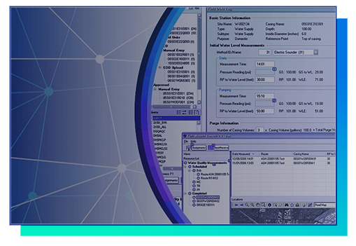
WRIS is designed to manage the lifecycle of the groundwater wells from the request for construction to destruction – and everything in between. As a repository for managing your groundwater information system, WRIS includes support for permitting, construction, monitoring, extraction tracking, reporting, customer billing, and destruction permitting
Water Demand Forecaster (WDF)
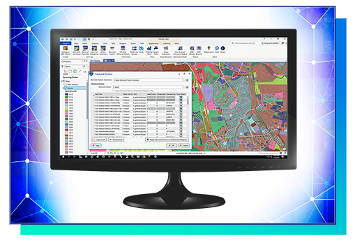
WDF is an automated, GIS-based demand forecasting tool used to rapidly estimate water and wastewater demands in response to changes in the land use, and the related use factors. It is an ideal tool for communities that are growing through new land development or redevelopment scenarios. You can change the timing of the localized development to experiment different economic growth scenarios.
Demographic Analysis Tool
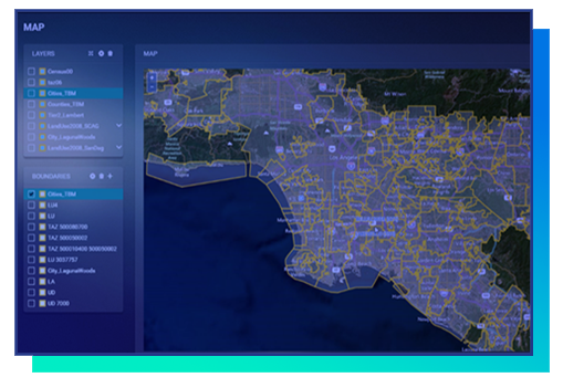
As demography plays an important role in the planning, development and maintenance of water resources, we’ve developed a tool to accurately measure the dynamics and dimensions of a population. Armed with our Demographic Analysis Tool, your organization will be able to track changes in population size, housing, and employment composition of a given area, more easily enabling the best decisions and accurate projections of a particular community.
Integrated Resources Planning Distribution Model (IRPDSM)
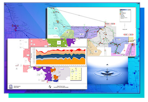
IRPDSM is the ideal planning and management tool to assess the reliability of your water system to meet future demand – in light of changes in available water supply and capacity limitation.
Geospatial Resources of Water Management for Agricultural Systems (GROWMAS)
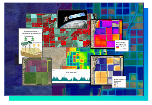
Geospatial Resources of Water Management for Agricultural Systems (GROWMAS) is an online analytical platform which empowers local water agencies and Groundwater Sustainability Agencies (GSAs) to monitor, analyze and visualize historical and near real-time groundwater changes.
Water Saving Targets (WST) Tool
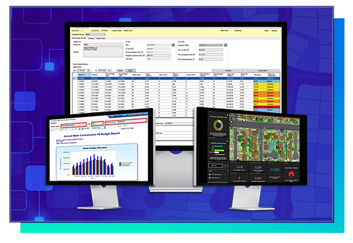
DCSE has developed a GIS-enabled tool, “Water Saving Targets” (WST), to plan, calculate customer allocations, and monitor its compliance status for “Conservation a California Way of Life” regulations. While compliance is required at the agency level, the agency should develop plans at the customer level. WST allows you to monitor state-mandated targets at the Individual Meter, Community, Division & Agency Levels.
REQUEST A DEMO OR MORE INFORMATION
Let us know by filling out our form through the Contact Page link below.
LOCATION
DCSE Inc.
23461 S. Pointe Drive
Suite 300
Laguna Hills, CA 92653
© 2024 DCSE Inc. All Rights Reserved

