PROJECT SUMMARY:
Land Cover Classification Dashboard
Multiple Water Agencies
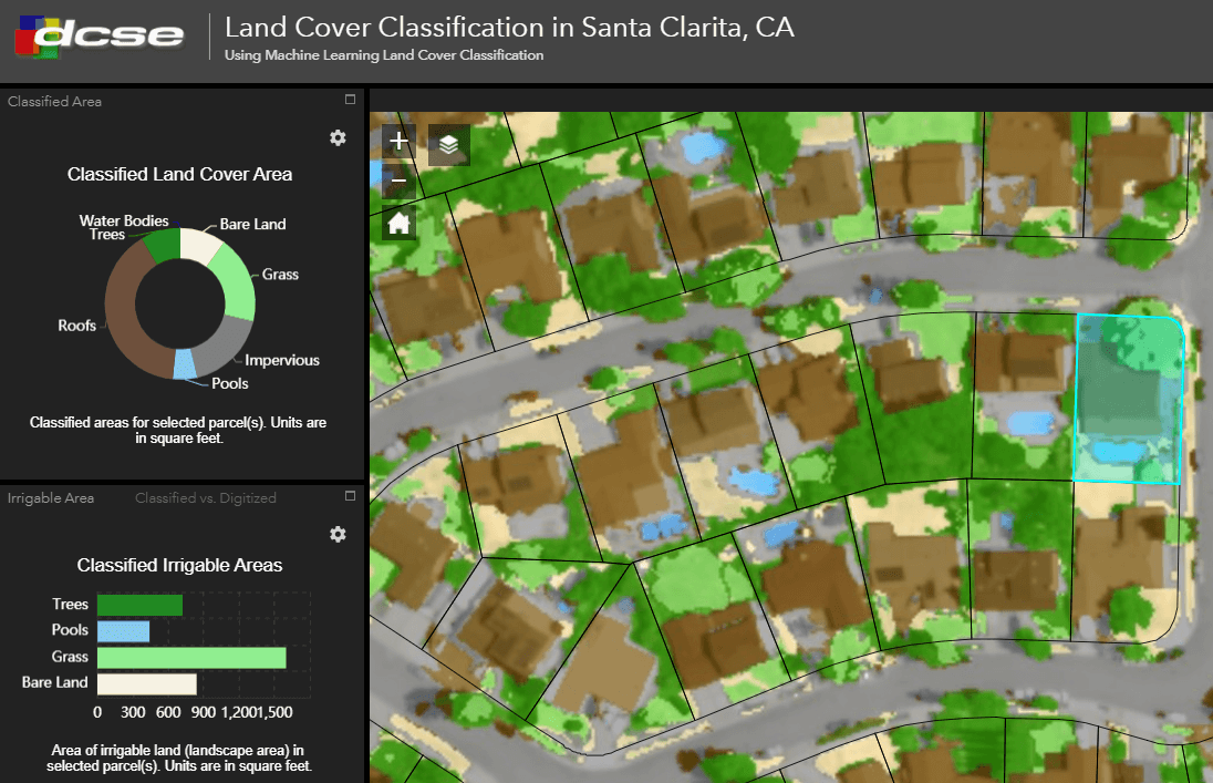
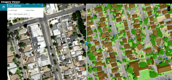
DCSE has designed and implemented an interactive AI Classification Dashboard for respective water companies to use in data visualization and communication efforts. This is an online GIS-based web application and cloud service that displays data and results of land cover classification projects.

These results guide water districts in their water allocation efforts at the residential parcel level. The dashboard helps water retailers, particularly those lacking adequate data storage or GIS capabilities, to easily access and analyze NAIP imagery, data, and classification results. The figure on top shows the land cover classification dashboard for water allocation purposes in residential areas.

HIGHLIGHTS
- Helps water districts easily view & share classification results
- Intuitive & User-Friendly Platform
- Multiple Visual Options (pie chart, bar graph, classification imagery) for displaying data
BENEFITS
- Easy access to analyze NAIP imagery, data, and classification results
- Share and demonstrate results interactively
PROJECT OWNER
- Multiple Water Agencies
REQUEST MORE INFORMATION
LOCATION
DCSE Inc.
23461 S. Pointe Drive
Suite 300
Laguna Hills, CA 92653
© 2024 DCSE Inc. All Rights Reserved

