PROJECT SUMMARY:
Utility Network Implementation for Sewer System
San Bernardino Municipal Water Department (SBMWD)

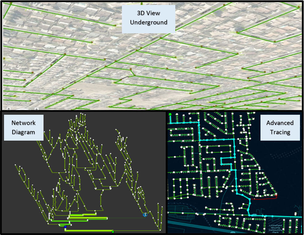
Starting with a thorough QC, DCSE ensured that the data gaps were filled for essential attributes – primarily the asset types, asset groups, and lifecycle status. The data was then migrated to the Utility Network. 3D is an essential component of the Utility network; SBMWD’s data had pipe inverts and maintenance hole rim elevations from as-built drawings. This effort resulted in a traceable 3D network that could be visualized in a scene. The data was configured with elements such as assemblies, containers, and subnetworks. The directionality of flow was set at pump stations, and the network was configured at elevated maintenance holes and junction structures.
Finally, the Utility Network was published to the ArcGIS Enterprise with branch versioning enabled. DCSE also set up web apps to trace and edit the data on the web.
Following the pilot study, DCSE is assisting SBMWD with migrating the complete system, and deploying the enterprise to a cloud environment.
HIGHLIGHTS
- Utility Network Migration
- Cloud Deployment
- Configuration
- 3D Visualization
- Advanced Tracing
- Data Migration
- ArcGIS Pro
- Web Maps & Apps
BENEFITS
- Intelligent Sewer Systems
- Linear & Vertical Assets
- Multi-level network representation in 2D & 3D
- Efficient data management
- Accurate & efficient tracing capability
- Quick information delivery with large datasets
PROJECT OWNER
- San Bernardino Municipal Water Department (SBMWD)
REQUEST MORE INFORMATION
LOCATION
DCSE Inc.
23461 S. Pointe Drive
Suite 300
Laguna Hills, CA 92653
© 2024 DCSE Inc. All Rights Reserved

