PROJECT SUMMARY:
Utility Network Implementation for Water System
Soquel Creek Water District (SCWD)
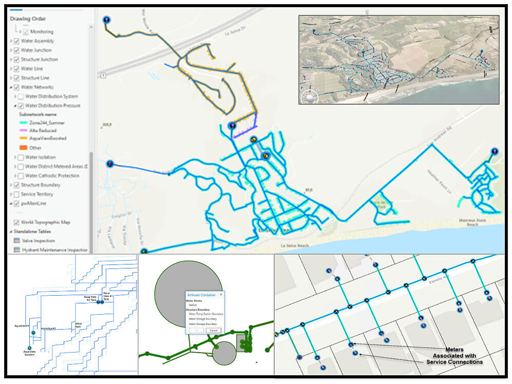
Soquel Creek Water District (SCWD) conducted a pilot study for migrating to the ArcGIS Utility Network. DCSE performed a Utility Network pilot study for SCWD’s water system.

The pilot area consisted of an area that was in the southernmost part of the service area. This zone has booster stations, tanks, and PR Stations, perfect for the pilot study. Starting with a thorough QC, DCSE ensured that the pressure zones assigned were correct as this would play a role in Utility Network. DCSE filled the data gaps for essential attributes with help from SCWD staff – primarily the asset types, asset groups, and lifecycle status. 3D is an essential component of the Utility network; DCSE assigned z-elevation values to features involved in the network using LiDAR data from SCWD.
HIGHLIGHTS
- Utility Network Pilot Study
- Configuration
- Water Systems
- 3D Visualization
- Advanced Tracing
- Data Migration
- ArcGIS Pro
- Web Maps & Apps
BENEFITS
- Utility Network Pilot Study
- Intelligent Network
- Linear & Vertical Assets
- Multi-level network representation in 2D & 3D
- Efficient data management
- Accurate & efficient tracing capability
- Quick information delivery with large datasets
PROJECT OWNER
- Soquel Creek Water District (SCWD)
REQUEST MORE INFORMATION
LOCATION
DCSE Inc.
23461 S. Pointe Drive
Suite 300
Laguna Hills, CA 92653
© 2024 DCSE Inc. All Rights Reserved

