

News & Announcements
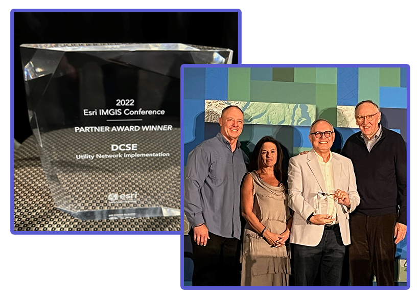
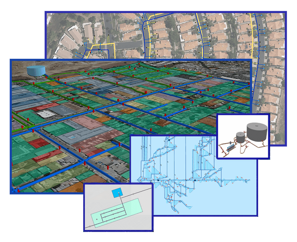
Deploy & Transition to Utility Network with Ease & Efficiency
Utility Network offers agencies industry-focused configurations, an integrated network that is scalable for the organization, superior data quality control, and the only model supported for water agencies and utility agencies in the near future
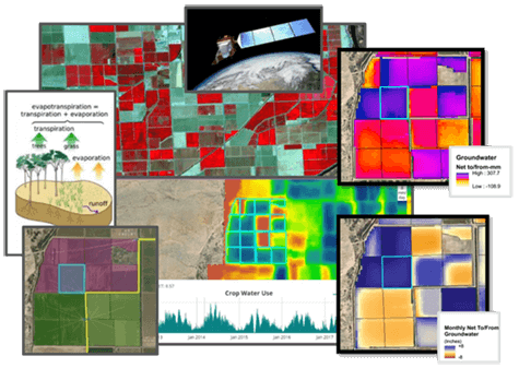
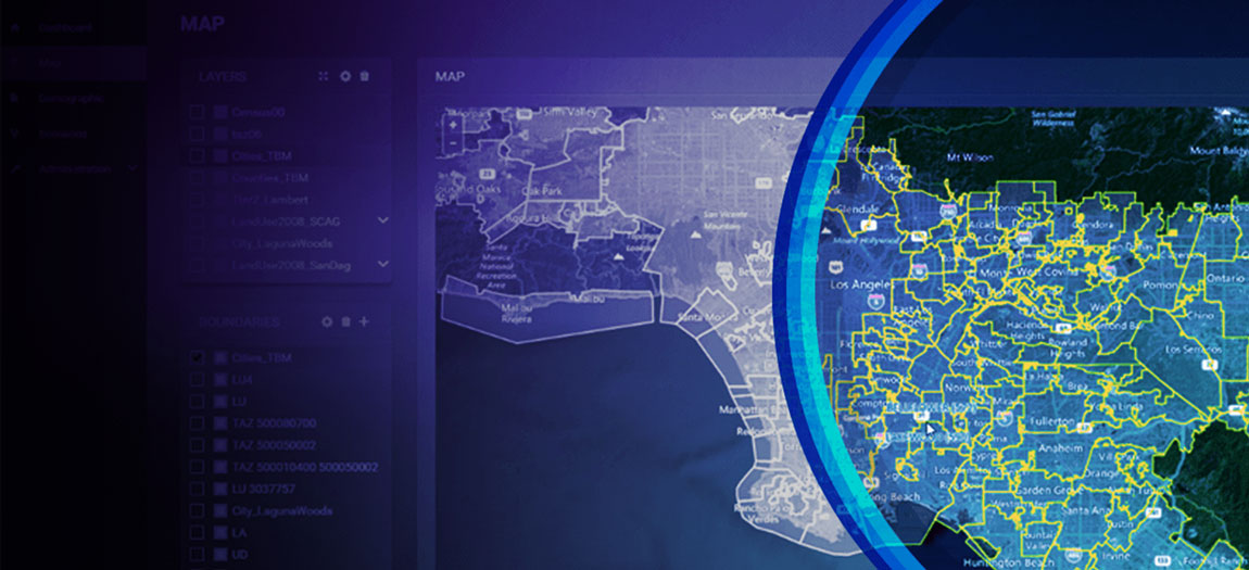
Geospatial Resources of Water Management for Agricultural Systems
GROWMAS is an online analytical platform which empowers local water agencies and Groundwater Sustainability Agencies (GSAs) to monitor, analyze and visualize historical and near real-time groundwater changes
For Complying with AB 1668 & SB 606
Provide your customer service, water resources and conservation departments with a user-friendly tool to administer established water budgets
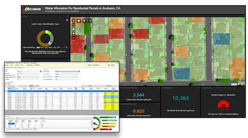
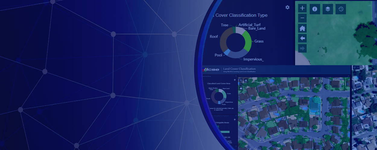
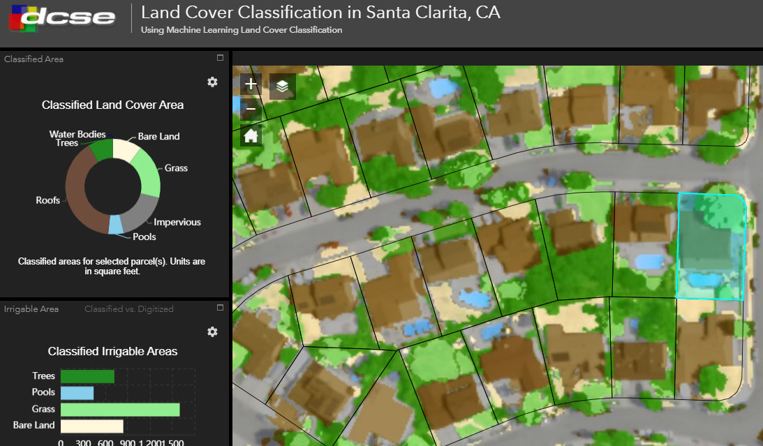
For Landcover Types & Residential Landscape Area
An artificial intelligence-based land cover classification methodology to map and measure different land cover types at the parcel level
DCSE brings together a dynamic team of GIS Specialists, Engineers & Software Developers who assist Utilities with designing, implementing & maintaining a true enterprise GIS

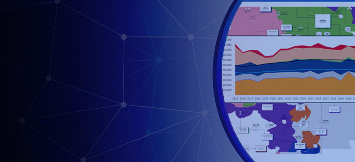
Leverage historical data to estimate future water demands for real-time, near-optimal control and management of water distribution systems


INTEGRATED + SMART SOLUTIONS FOR MANAGING
UTILITY INFRASTRUCTURE

ABOUT US
Our core capabilities include the planning, development and support of geographic information systems (GIS), large-scale relational databases, and web-based applications.

SERVICES
Our services promote efficient solutions in engineering services industry – for water resources, solid wastes reuse, environmental, transportation and much more.

PRODUCTS
DCSE’s leading-edge solutions and custom-tailored applications have aided a variety of government, engineering and utility clients for well over three decades.
FEATURED PROJECTS
Learn more about how we’ve solved problems for our diverse list of clients:
LOCATION
DCSE Inc.
23461 S. Pointe Drive
Suite 300
Laguna Hills, CA 92653

© 2024 DCSE Inc. All Rights Reserved